WildNet - Mike Snelle
Cardigan Island, Gwbert, Ceredigion
A notified SSSI which in turn is part of the European Natura 2000 site, the Cardigan Bay Special Area for Conservation (SAC). The whole Island is designated as a Scheduled Ancient Monument, SAM.
Know before you go
Dogs
When to visit
Amseroedd agor
Open access reserve. Please contact the Trust for permission to land 01656 724100.Amser gorau i ymweld
Spring and summerAm dan y warchodfa
The island has had a long history of human use; a turf wall encloses the site of an early Christian Cell. The vegetation has altered dramatically since the 1950s, and only small areas of comparable flora remain on the north-west cape. One factor was soil erosion due to an infestation of Brown Rats, which arrived as the result of the wreck of the steamer Herefordshire in 1934. These were eradicated in the late 1960s with aid from MAFF pest officers.
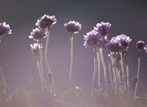
The vegetation can be divided into four communities: almost pure Rye Grass at the western end; more diverse Fescue-Sorrel tusk grassland in the centre with extensive patches of Bluebells (4-6) and Yorkshire Fog, and a richer Fescue grassland at the eastern end; maritime cliff vegetation with Tree Mallow to the east, richer vegetation on the northern promontory and adjacent gully with Sea Mayweed and Spring Squill.
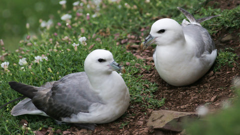
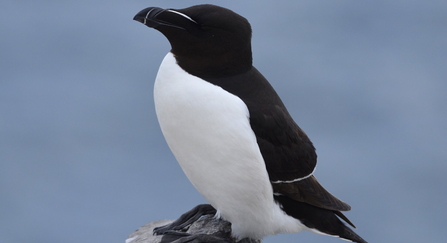
The breeding seabird assemblage is dominated by gulls, including an increasing population of Herring Gulls, circa 1400 pairs of Lesser Black-backed Gulls (data from 2004 survey), and up to 20 pairs of Great Black-backed Gulls. Razorbills began to breed in 1982. Other birds breeding include Guillemot, Chough, Fulmar, Shag, Oystercatcher, Raven, and Rock Pipit. Canada and Barnacle Geese also use the island. Grey Seals breed in the sea caves.
Adam Jones


