The footpath that passes through the ash woodland of this nature reserve is now closed to the public. This is due to the presence of Ash Dieback in the trees. See below for more information.

Philip Precey
West Williamston
Location
Know before you go
Dogs
When to visit
Opening times
Open access reserve.Best time to visit
Spring and SummerAbout the reserve
Our detailed assessment of the number and health of the ash trees (and the risk they pose to site users) determined that making enough trees safe would cause too much harm to the nature reserve, especially the species that depend on ash. It would also reduce our ability to learn about any resilience these local trees might have.
Therefore, with wildlife in mind, we have decided to leave the trees standing- but that means we reluctantly have to reduce public access here until further notice. This decision will be kept under review and this site updated if the situation changes.
The path closure is clearly marked on site and for your own safety we would ask that you respect the closures and instead continue to enjoy the other routes still available on the site.
For further information on Ash Dieback and the Trust’s policy on managing it, visit our Ash Dieback page.
---
The reserve is a promontory on the confluence of the Carew and the Cresswell rivers. The saltmarsh is deeply indented with tidal creeks excavated as loading bays for the limestone quarries in the 18th century. Many of the creeks are now becoming salt marsh, and the remaining spoil heaps from the quarries have become vegetated.
The saltmarsh fringes the muddy shoreline were there is a broad belt of Cord Grass, and Glassworts, Rock Sea-lavender and also Marsh Mallow is present at one of its few locations in Pembrokeshire. The ridges between the creeks and quarries have a rich calcareous flora between patches of scrub including Blackthorn. Local and uncommon plants include Bee Orchid, Fragile Glasswort, Hairy Rock-cress, Hairy Violet, and Yellow-wort. Ash and Sycamore dominate the woodland with Oaks, Beech and Hazel. Lichen and fungi are abundant and include Sulphur Tuft and Orange Peel Fungus.
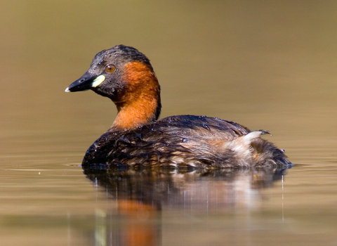
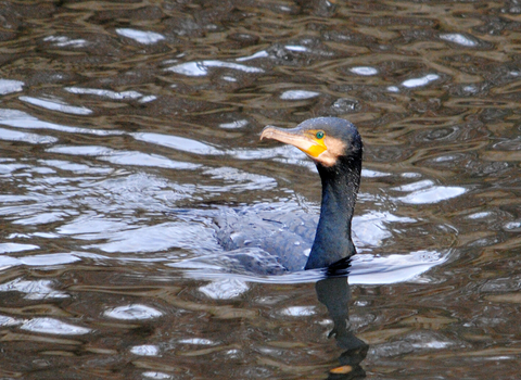
Large numbers of waders and wildfowl frequent the site, including Curlew, Little Grebe, Grey Heron, Shelduck, Mute Swan, Cormorant and Oystercatcher. Further species present in the woodland include Tawny Owl and Wren.
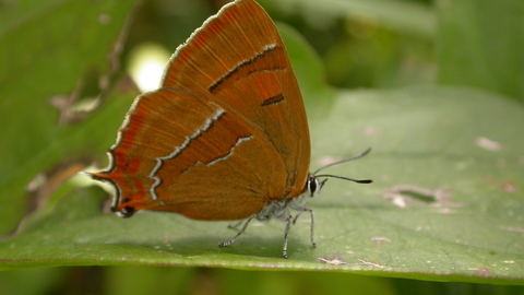
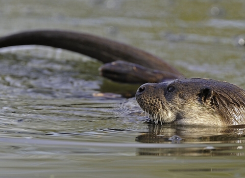
Butterflies are well represented and include the Comma and one of the largest colonies of Brown Hairstreak in west Wales. Mammals present include Common Shrew, Bank Voles, Moles and Polecats.


