Chris Lawrence
Pwll Waun Cynon – Mountain Ash
Know before you go
Dogs
When to visit
Opening times
Open access reserve.Best time to visit
Spring and SummerAbout the reserve
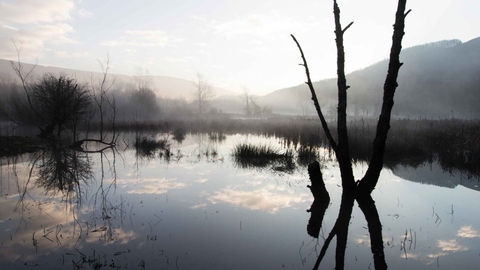
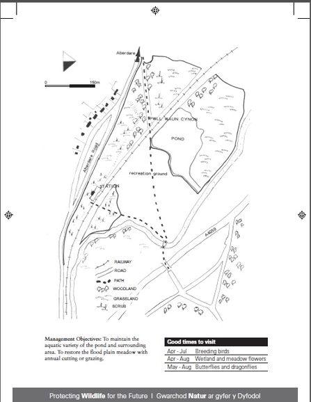
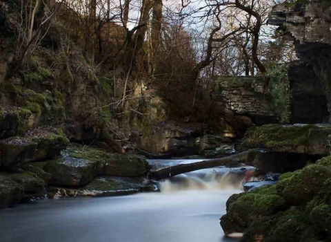
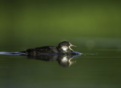
The reserve is situated in an area that was previously known as one of the most polluted parts of the UK in the days of the adjacent Phurnacite plant. After the plant closed in the late 1980s the pond and surrounding area recovered completely and now support an impressive selection of water birds including breeding Little Grebe, Mallard, Moorhen, and Reed Bunting, with regular visitors including Kingfisher, and Grey Heron, with Dipper and Common Sandpiper on the River Cynon at the boundary.
There are stands of Arrowhead, a scarcity in Glamorgan, to be found in the wetter parts of the woodland.
The pond also has several uncommon plants including Fat Duckweed, Water Chickweed, Marsh Yellow-cress, Great Pond Sedge and Common Club-rush, and provides a habitat for aquatic insects, including dragonflies such as Common Blue Damselfly and Southern Hawker, and this site harbours the occasional Mink.


